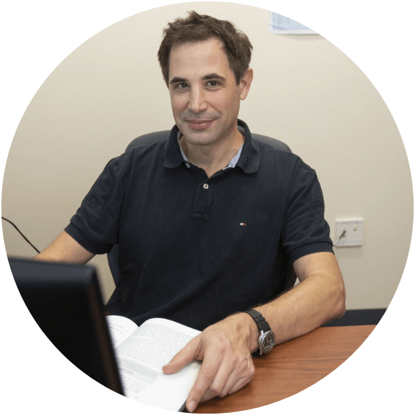
Henry Hochmair
Professor, Geomatics
Henry Hochmair joined the Geomatics program as a faculty member in 2008. His specialty within Geomatics lies in spatio-temporal analysis of geo-data using Geographic Information Systems (GIS), which can be applied to a variety of disciplines.
His areas of interest include analyzing people’s travel behavior in multi-modal transportation networks, assessing the data quality of free geo-data on the Internet, and the use of GeoAI in solving spatial questions.
He is the Geomatics faculty in charge at the Fort Lauderdale Research and Education Center. More information about that campus is available here.
Courses Taught
| Identifier | Course Name |
|---|---|
| SUR 3520 | Measurement Science |
| SUR 4350/6536 | Geodesy and Geodetic Positioning |
| SUR 5525 | Least Squares Adjustment |
| SUR 5365 | Digital Mapping |
| SUR 6103 | GIS Programming |
| GIS4121/6116 | Geospatial Analysis/GIS Analysis |
-
Research Interests
- GIS
- Spatial Analysis
- Alternative transportation (walk, bike, transit)
- Volunteered Geographic Information (VGI)
- GeoAI
-
Education
- PhD, Geoinformation, Technical University of Vienna, 2002
- MSc, Geodesy, Technical University of Vienna, 1998
- MA, Electroacoustic Composition, University of Music and Performing Arts, Vienna, 2000

